
NASA Sea Ice Cover Products
Product User Guide
PI - Mark Tschudi (Univ of Colorado)
Product ATBD
Co-Is: Dorothy HALL (University of Maryland), George Riggs (SSAI GSFC),
Sea Ice Cover
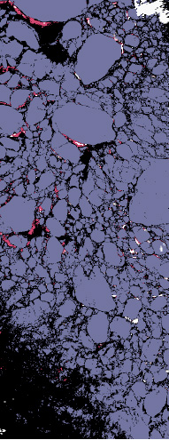
NASA VIIRS Sea Ice Cover in the
Beaufort Sea, April 7, 2015.
The VIIRS Sea Ice Cover product identifies sea ice in cloud-free areas of the Arctic and Antarctic for both day and night. The sea ice cover algorithm is similar to the current MODIS C6 Sea Ice Extent algorithm, utilizing the Normalized Difference Snow Index (NDSI):
NDSI = (I1 band - I3 band) / (I1 band + I3 band)
The VIIRS I1 and I3 bands are image quality and centered at 0.64 µm and 1.61 µm, respectively. The algorithm utilizes NDSI in the following way: If the NDSI is greater than a certain threshold, and the I1 band is greater than a second particular threshold, then the pixel is identified as sea ice. These thresholds are developed and may be modified to improve correlations with sea ice detection using other satellite-based and airborne sensors.
The products are provided in NETCDF format. Currently, this collection is available from January 19, 2012 and forward. Products from the VIIRS sensor aboard JPSS-1 (J1) will be also be available starting in mid-2023.
Product Details and DAAC Links
| Product Name | SNPP | JPSS-1 |
|---|---|---|
| Sea Ice Extent 6-Min L2 Swatd 750m | VNP29 | VJ129 |
| Sea Ice Extent Daily L3 Global 1 km EASE-Grid Day | VNP29P1D | VJ129P1D |
| Sea Ice Extent Daily L3 Global 4 km EASE-Grid Day | VNP29E1D | VJ129E1D |