Visible Infrared Imaging Radiometer Suite
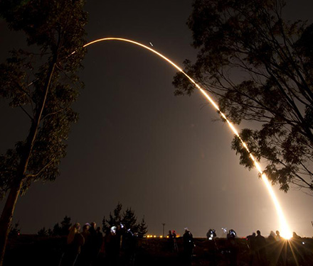
The first Visible Infrared Imaging Radiometer Suite (VIIRS) instrument, was launched on the Suomi National Polar-orbiting Partnership (S-NPP) satellite on Oct. 28, 2011 from Vandenberg Air Force Base in California. VIIRS extends and improves upon a series of measurements initiated by its predecessors, the Advanced Very High Resolution Radiometer (AVHRR) and the Moderate Resolution Imaging Spectroradiometer (MODIS) instruments.
The Joint Polar Satellite System (JPSS), a NOAA/NASA program, and the Defense Weather Satellite System, a U.S. Air Force program, were tasked with the next-generation requirements for environmental research, weather forecasting and measurement capabilities for climate monitoring that S-NPP represents. Today, there are three VIIRS instruments on orbit, the original S-NPP satellite, the JPSS-1, which transitioned to NOAA-20, and the third VIIRS instrument, JPSS-2, launched on November 10, 2022, and is now designated as NOAA-21.
Since 2004, scientists funded by NOAA and NASA have evaluated and validated operational Land products from JPSS VIIRS. The products were developed before launch by applying VIIRS algorithms to MODIS data. In 2014, after a long period of product evaluation, NASA began creating its own suite of operational products to provide dynamic continuity with their well-established MODIS data record. This NASA program, known as 'The Science of Terra, Aqua, and Suomi-NPP' offered investigators an opportunity to conduct integrative research using the data and products from all platforms. In 2021, the program was augmented to also include the JPSS series of satellites, which became collectively known as T/A/SNPP/JPSS.